Counties or districts of Mallorca
Although in several sections of our tourism portal we have preferred to summarise the areas of the island between the North and South of Mallorca, we must first of all remember that, within the framework of the autonomous community of the Balearic Islands, the 53 towns, villages or municipalities of Mallorca are structured and divided – unofficially – into 6 districts (counties) or commonwealths.
These are the counties or districts of Mallorca
Counties or districts of Mallorca: In summary, the island of Mallorca (Balearic Islands, Spain) is divided into six counties, districts or commonwealths: Palma de Mallorca, Serra de Tramuntana, Es Raiguer, Es Pla or Llano de Mallorca, Migjorn and Llevant. Below is a list of the villages, regions, their towns, or municipalities and a map of the area they occupy on the island.
Incredible Counties or districts of Mallorca:
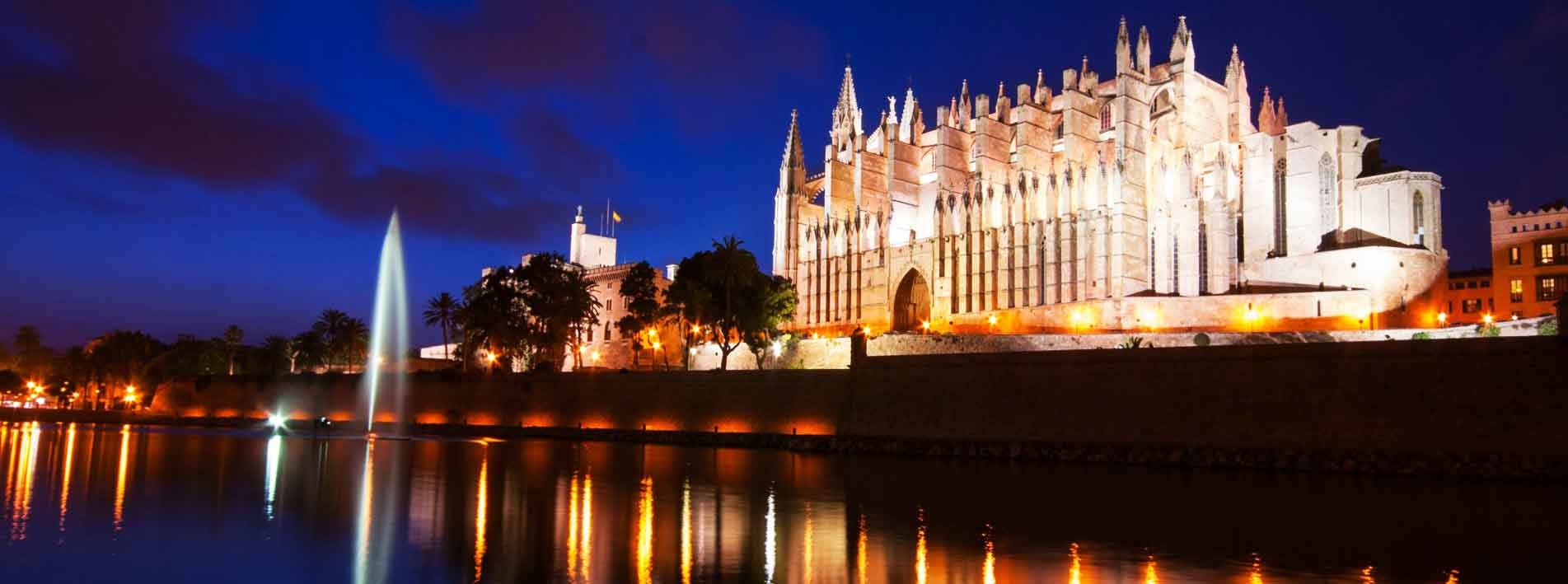
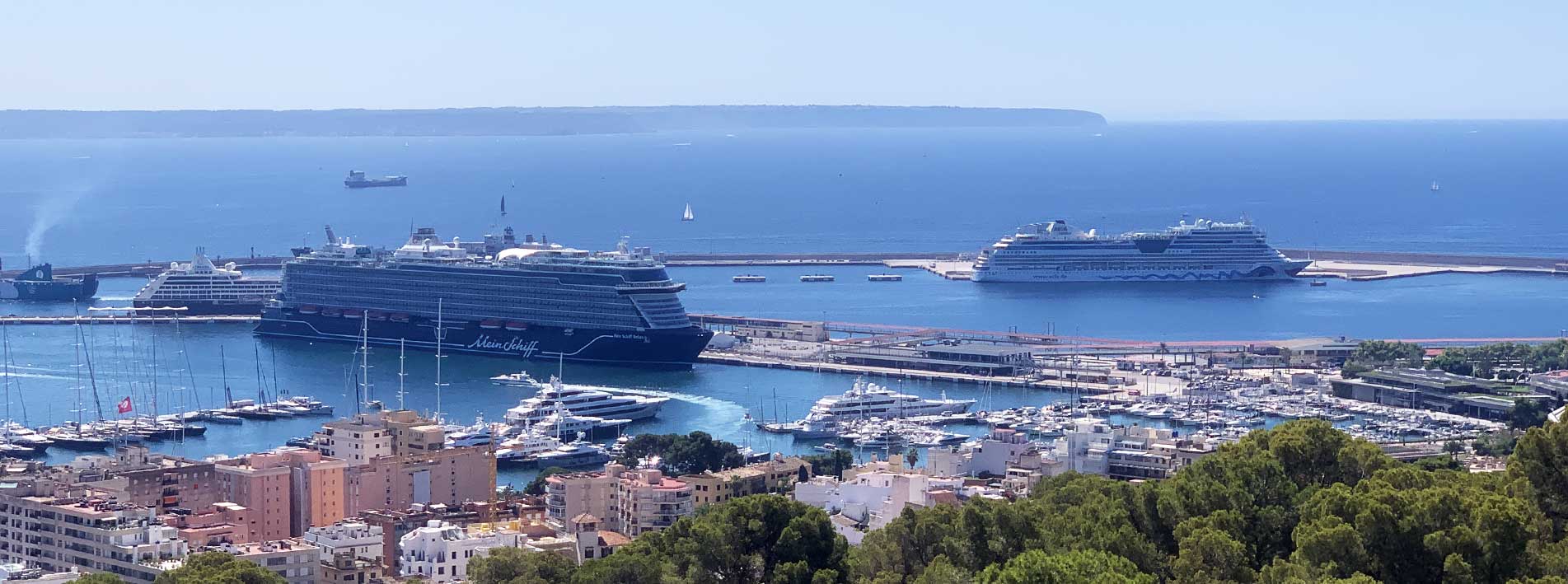
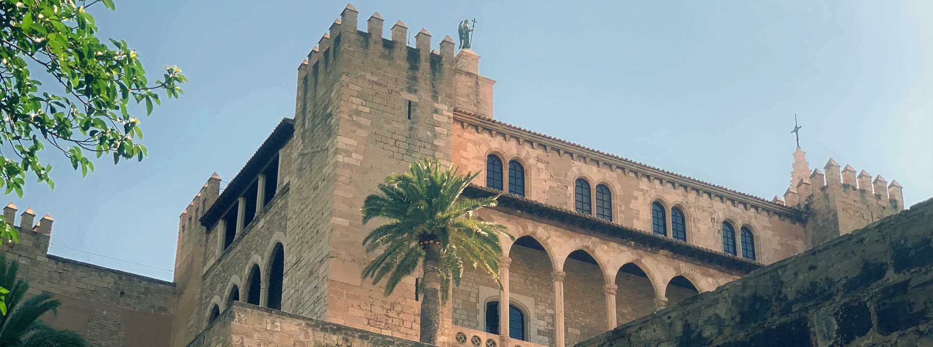
Palma de Mallorca
Population: 383.107
Area (km2): 213,6
Density (hab/km2): 1.793,99
Capital: Palma de Mallorca
Number of municipalities: (1)
Palma de Mallorca
Location of Palma de Mallorca.
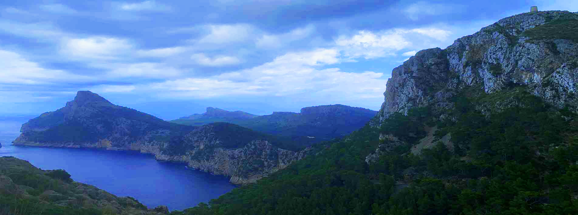
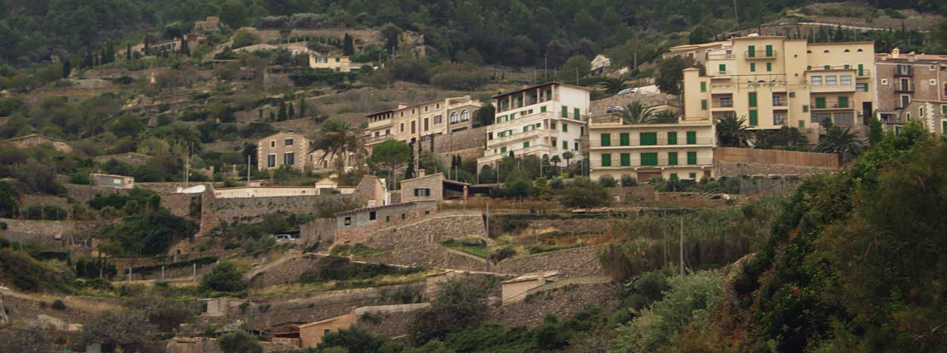
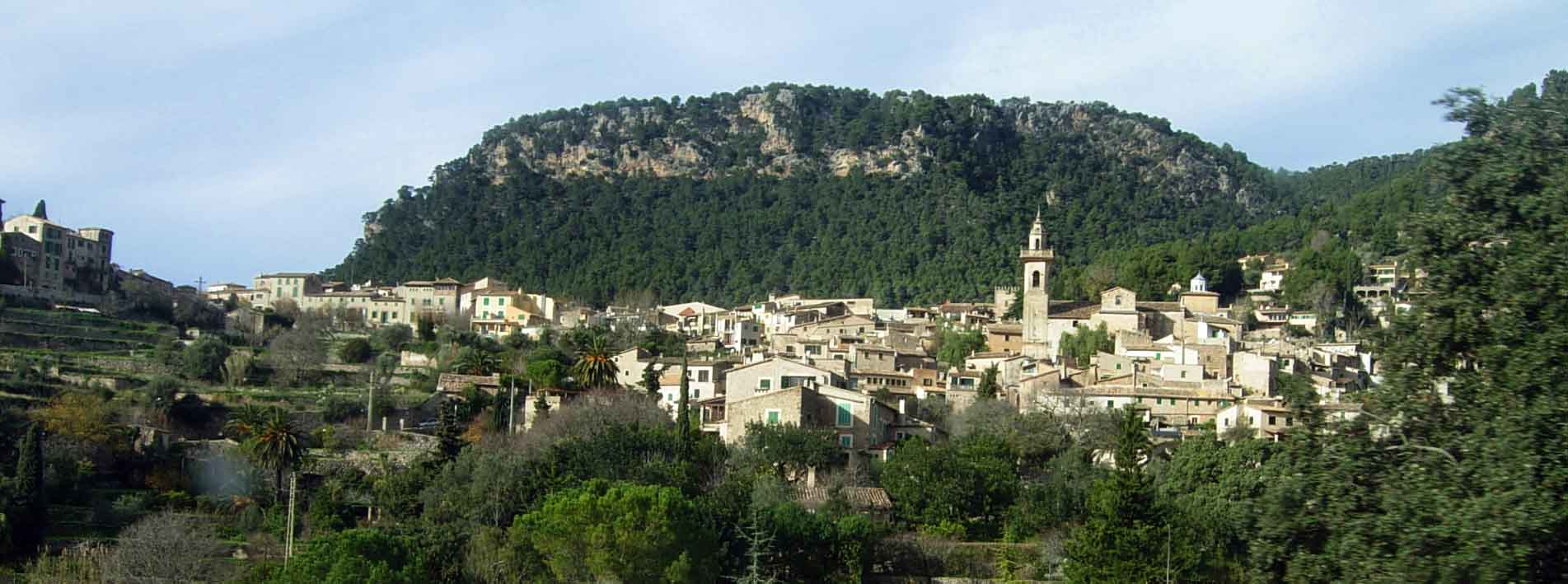
Serra de Tramuntana
Population: 105.450
Area (km2): 828,5
Density (hab/km2): 127,3
Capital: Sóller
Number of municipalities: (13)
Andratx
Banyalbufar
Bunyola
Calvià
Deià
Escorca
Esporles
Estellencs
Fornalutx
Pollença
Puigpunyent
Sóller
Valldemossa
Location of the Serra de Tramuntana.
Es Raiguer
Population: 123.046
Area (km2): 470,1
Density (hab/km2): 261,7
Capital: Inca
Number of municipalities: (13)
Alaró
Alcudia
Binissalem
Búger
Campanet
Consell
Inca
Lloseta
Mancor del Vall
Marratxí
Sa Pobla
Santa María del Camí
Selva
Location of the Raiguer.
Es Pla (Llano de Mallorca)
Population: 51.636
Area (km2): 736,7
Density (hab/km2): 70,1
Capital: Petra
Number of municipalities: (16)
Algaida
Ariany
Costitx
Lloret de Vista Alegre
Llubí
María de la Salut
Montuïri
Muro
Petra
Porreres
Sant Joan
Santa Eugènia
Santa Margalida
Sencelles
Sineu
Villafranca de Bonany
Location of the Pla de Mallorca.
Migjorn
Population: 75.899
Area (km2): 809,7
Density (hab/km2): 93,7
Capital: Lluchmayor
Number of municipalities: (5)
Campos
Felanitx
Lluchmajor
Ses Salines
Santanyí
Location of the Migjorn.
Levante
Population: 75.137
Area (km2): 592,5
Density (hab/km2): 126,8
Capital: Manacor
Number of municipalities: (5)
Artà
Capdepera
Manacor
Sant Llorenç des Cardassar
Son Servera
Location of the Levante
Counties or districts of Mallorca
Although in several sections of our tourism portal we have preferred to summarise the areas of the island between the North and South of Mallorca, we must first of all remember that, within the framework of the autonomous community of the Balearic Islands, the 53 towns, villages or municipalities of Mallorca are structured and divided – unofficially – into 6 districts (counties) or commonwealths.
Districts, counties (comarcas) in Spain: What is a district?
In the case of Spain, counties or districts (comarcas) are territorial divisions delimited by geographical, physical and human affinities. They are sometimes identified with the designations of origin that protect their products and only in some cases have regional governments endowed the comarcas with legal existence. Such is the case of Mallorca, in the framework of the Balearic Islands. Mallorca’s districts structure has no administrative recognition, but it has traditionally constituted an identifying element with which to distinguish or delimit the different identities of the island.
In Spain, only 5 autonomous communities have administrative districts (comarcas) officially recognised in some way by the autonomous community: Aragon (33 comarcas or districts), Catalonia (41), Valencia (34), Galicia (53) and the Basque Country (20). In total there are 181 comarcas.
About the Territory of the Counties or districts of Mallorca
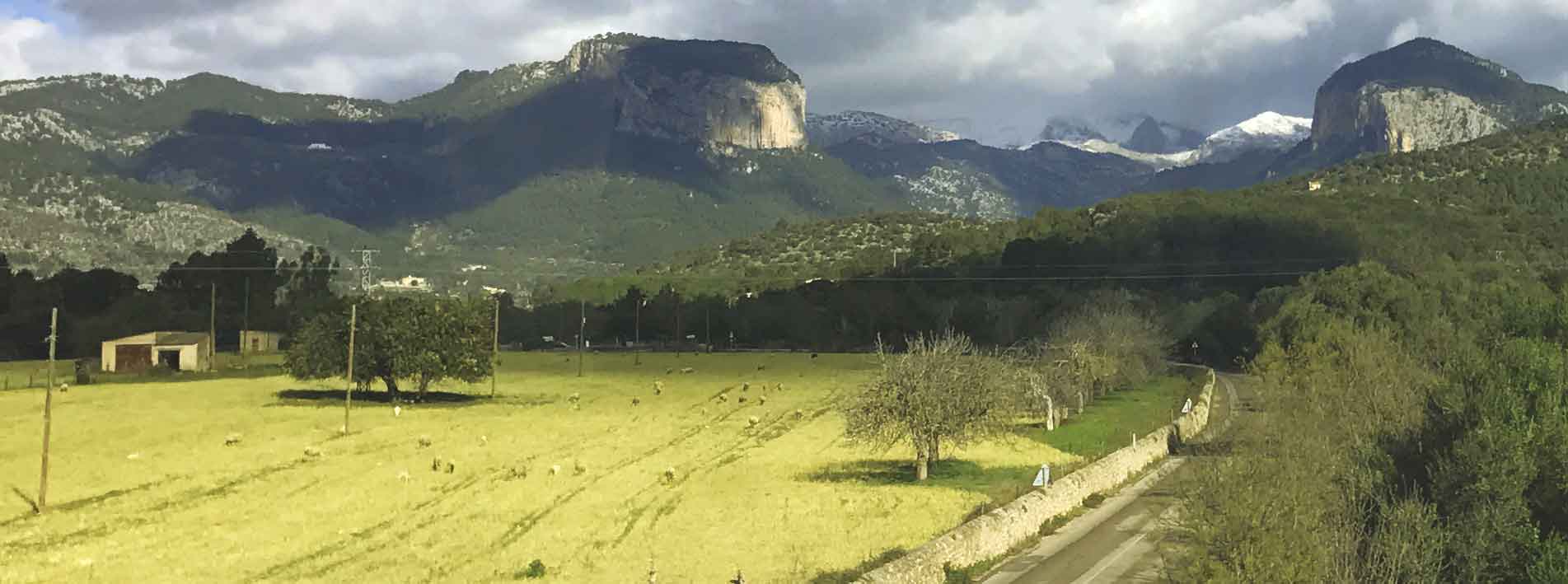
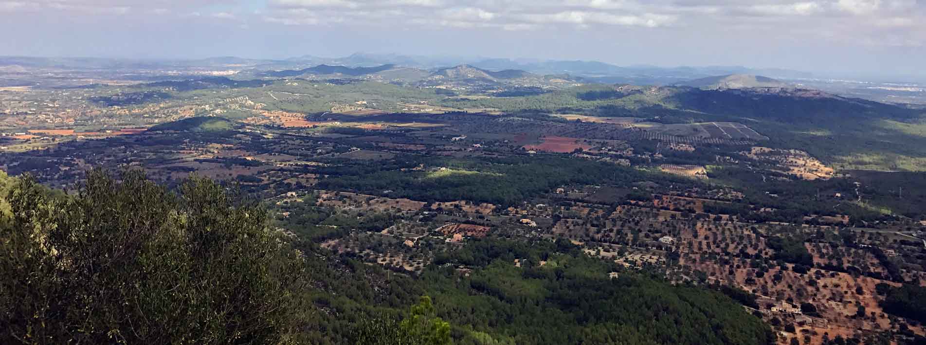
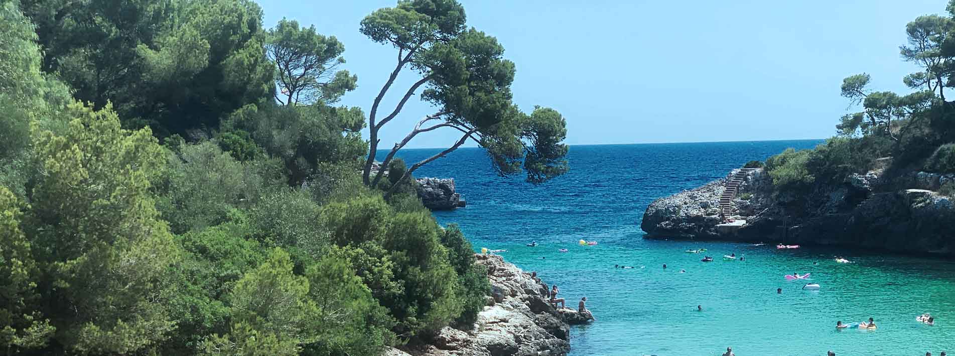
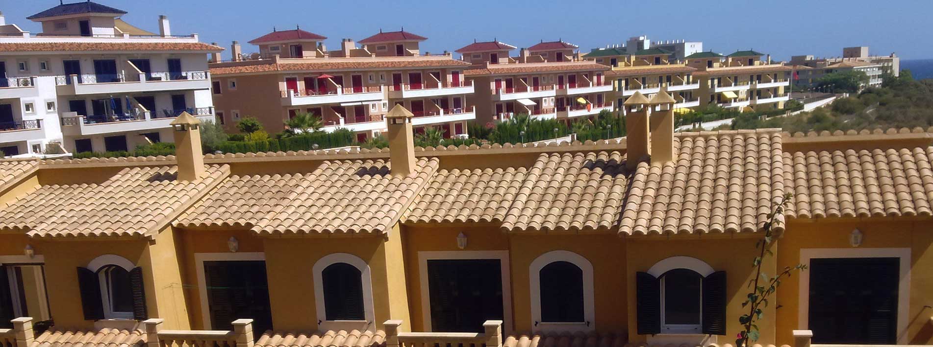
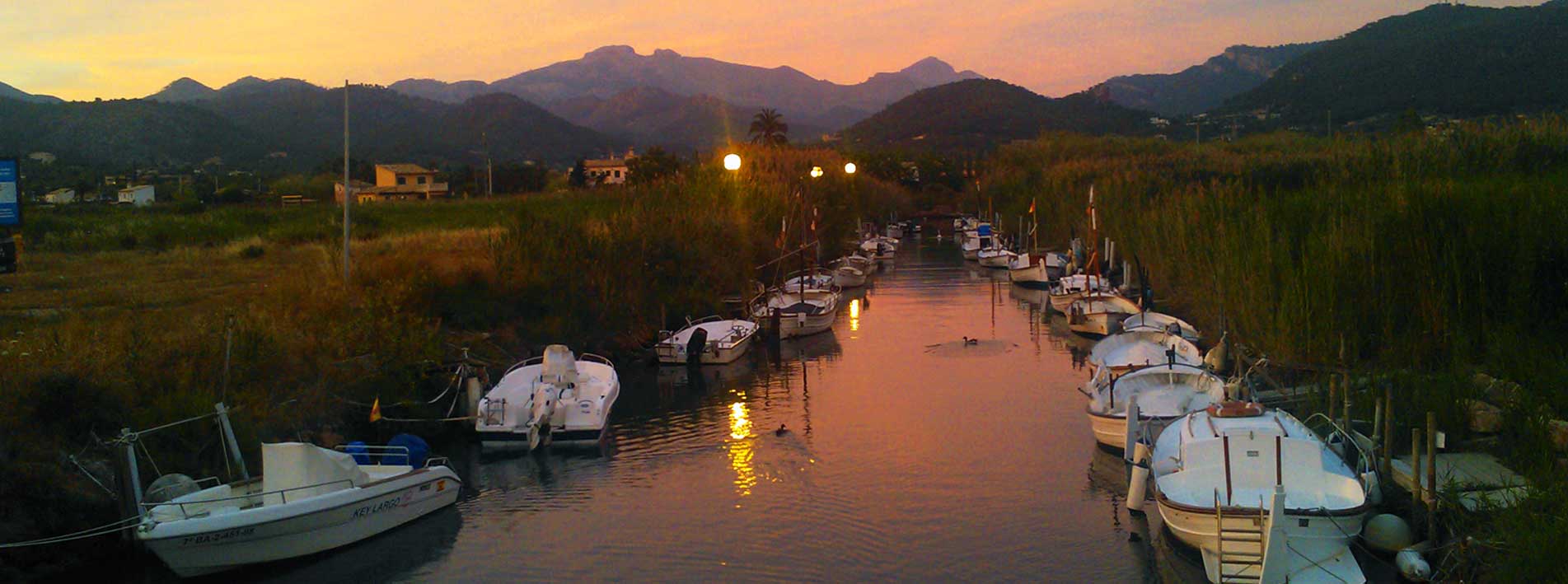
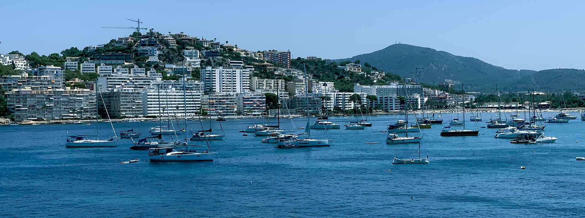
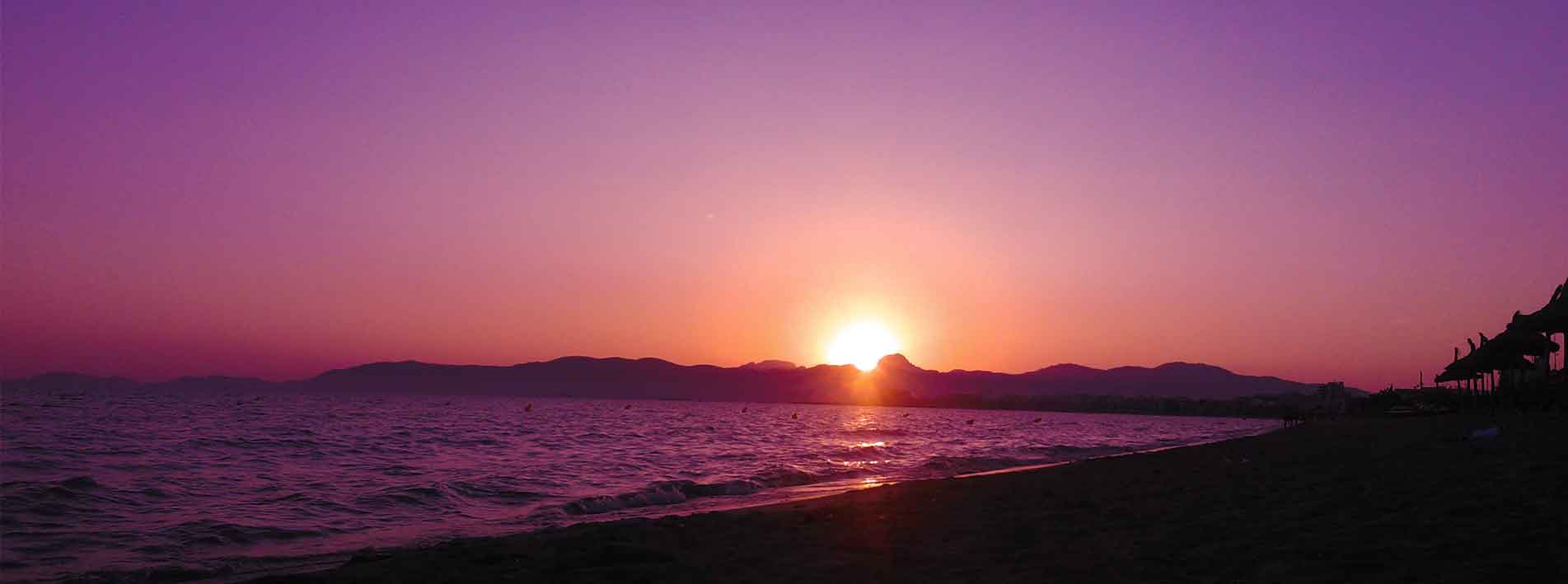
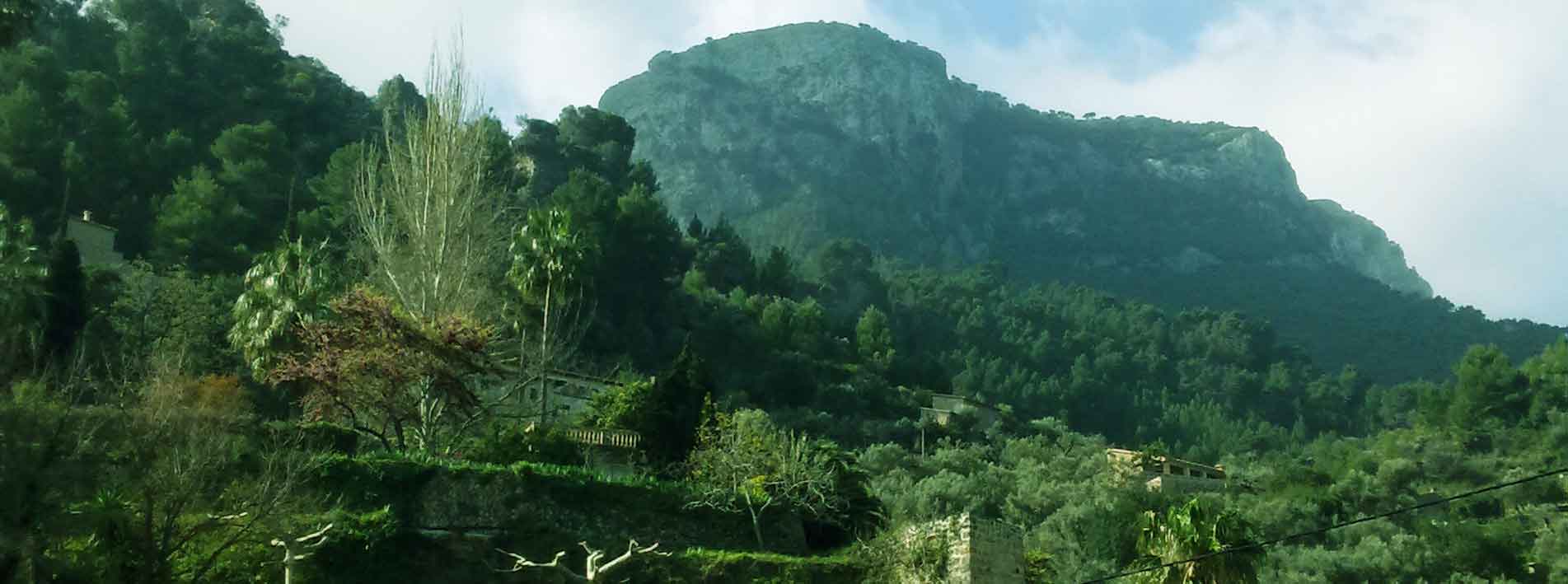
The municipalities that make up the counties or districts of Mallorca have experienced intense tourism development. This development is most evident in the island’s coastal areas, while economic activity in the inland plains is primarily based on agriculture and livestock, although agrotourism is also well established in these areas. The coast of Mallorca is almost a succession of bays, coves and sandy or smooth pebble beaches alternating with steep cliffs.
Territorial structure of Mallorca
Mallorca is territorially structured in different áreas, zones or regions (north, south, central, east, west, etc…). These areas are geographically structured into six counties, districts or commonweald (‘comarques’) with their respective municipalities, being Palma the largest and most populated one. Within the municipalities, Mallorca is made up of different localities (cities, towns, villages, hamlets, neighbourhoods, spas, resorts, etc.)
In short, the territorial structure of Mallorca is characterised by a combination of geographical áreas (zones or regions), ‘comarques’ (counties, districts), municipalities and different localities.


